The Middle Distances · northeastern uplands
Netline Dock
SKY DOCK · CANON PLACE FILERECORDED CHARACTER
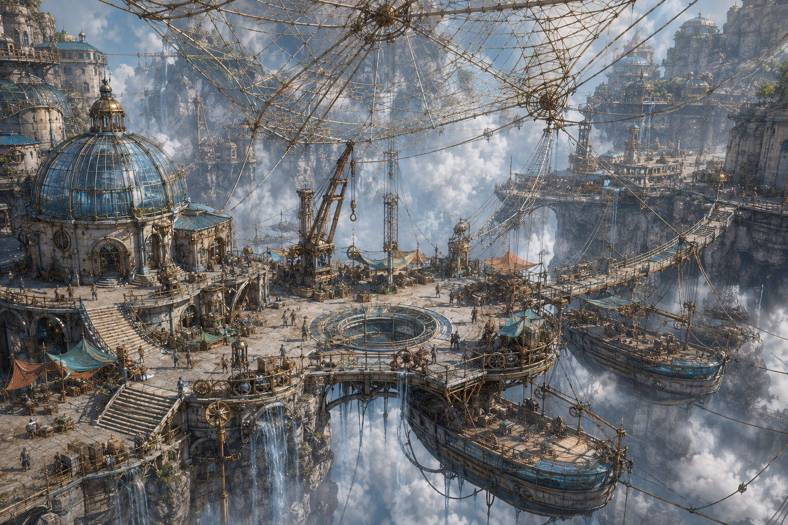
Proposed lower dock at the junction of the suspended net lines.
Proposed lower dock at the junction of the suspended net lines.
LOCAL CARTOGRAPHY
On the Cloudrest Assembly map.
The map plate is a navigational visual layer. The Place record—not the illustration—holds governed geography and resident placement.
OPEN THIS PLACE IN THE ATLAS → Netline Dock
ESTABLISHED DISTRICT RECORD
A district built around arrival.
Proposed lower dock at the junction of the suspended net lines.
This established district predates the expanded Place-profile format. Its governed child places are listed without inventing missing transport routes or civic details.
DISTRICT INDEX
Places within the file
No subordinate public records are filed.
CROSS-REFERENCES
Residents filed here
No public resident placement is recorded here yet.