
The Middle Distances · southeastern mineral country
Copper Sump
BASIN · CANON PLACE FILERECORDED CHARACTER
Proposed anchor for the copper-toned central-west circular works.
Proposed anchor for the copper-toned central-west circular works.
LOCAL CARTOGRAPHY
On the Glassweather Reach map.
The map plate is a navigational visual layer. The Place record—not the illustration—holds governed geography and resident placement.
OPEN THIS PLACE IN THE ATLAS →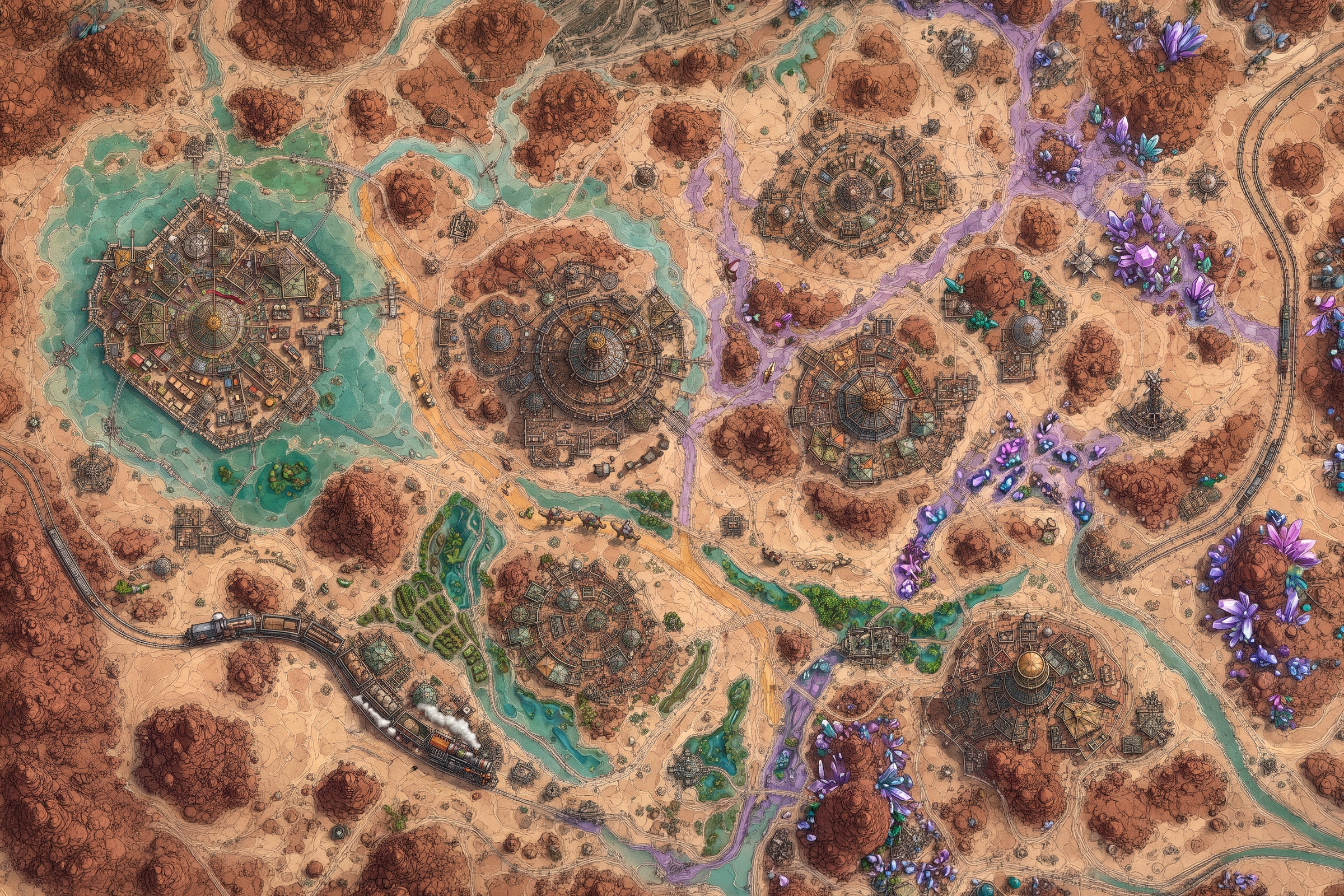 Copper Sump
ESTABLISHED DISTRICT RECORD
A district built around arrival.
Proposed anchor for the copper-toned central-west circular works.
This established district predates the expanded Place-profile format. Its governed child places are listed without inventing missing transport routes or civic details.
DISTRICT INDEX
Places within the file
No subordinate public records are filed.
CROSS-REFERENCES
Residents filed here