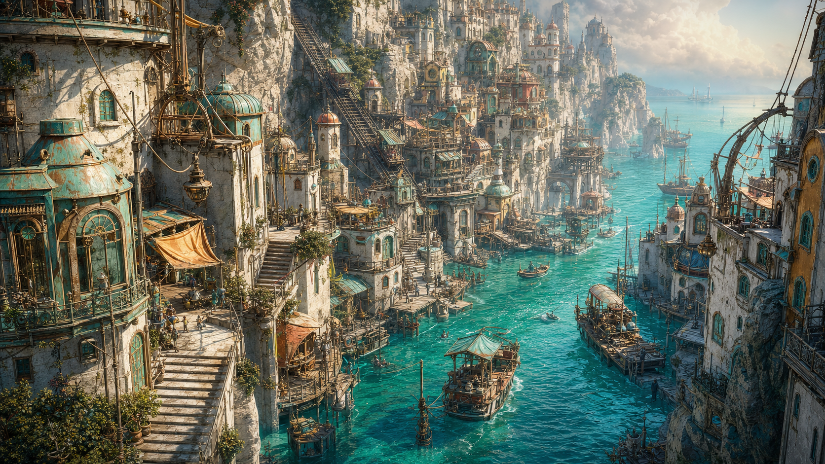
Salt-bright, busy and generous: painted stairs, floating kitchens, gull-proof filing cabinets and a horizon that enters the town on schedule.
A turquoise tidal town built down the walls of a flooded cleft. Streets become canals twice a day, front doors acquire temporary piers, and an address is considered accurate only if it includes the hour, the tide and whether the occupant owns sensible boots.
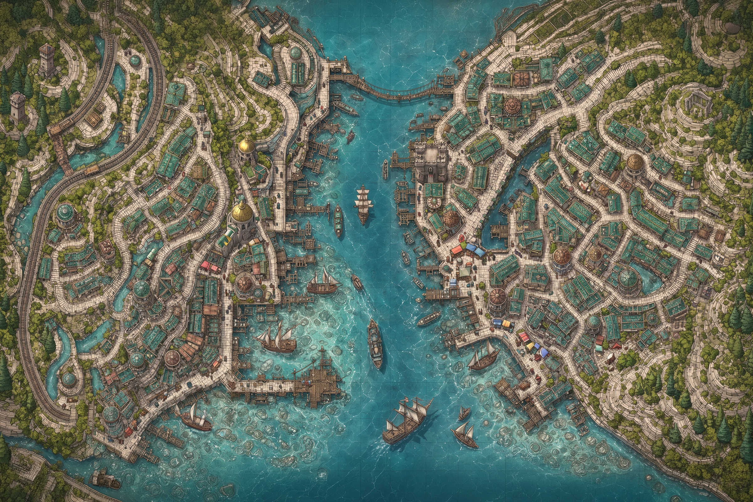
LOCAL CARTOGRAPHY
Inside Cleftwater Steps.
The map plate is a navigational visual layer. The Place record—not the illustration—holds governed geography and resident placement.
The town accepts that water will rearrange daily movement and has built its civic order around timing rather than permanence. Maps are printed in pairs: one for wet streets and one for streets pretending to be dry.
Children commute by narrow skiffs, shop counters lift on pulleys, and neighbours exchange tide keys that open whichever door is currently practical.
ARRIVAL & EXCHANGE
How it meets the wider world
Coastal ferries enter the cleft at high water; a cliff railway reaches the upper terraces in all but the most argumentative weather.
Salt goods, tidal engineering, glass floats, ropework and couriers trained to regard a submerged doorway as a routing note rather than a disaster.
Freight could transfer from cliff rail to Gristlewick, giving the station district a western maritime route and an enduring problem with damp labels.
STORY PRESSURES
Matters not yet settled
The tide returns one staircase that the town removed years ago.
A house continues receiving post after it has drifted beyond the municipal boundary.
The low-water map records a lane nobody can find while the water is out.
WHO MIGHT BELONG
Placement guidance
Amphibious or water-adapted residents
Couriers, navigators and practical improvisers
Creatures who prefer a town that changes shape without apologising
Guidance only. No resident belongs here until Björgvin chooses and commits the placement.
LOCAL RECORDS
Locations on this map
These are governed child places, not labels inferred from the illustration.